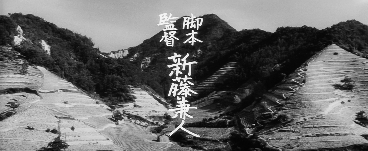
(#sagishima-twin)
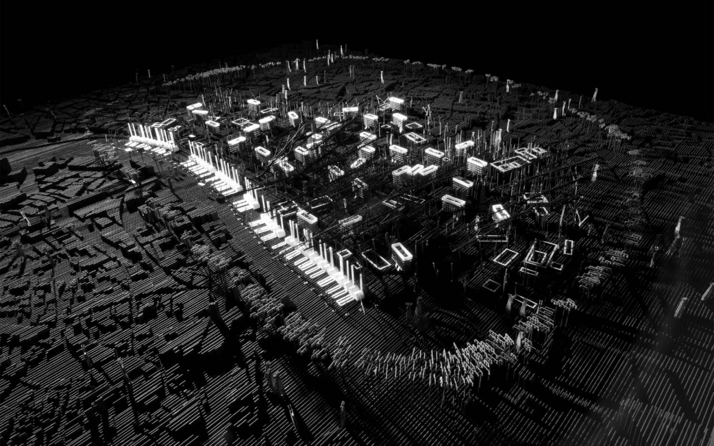
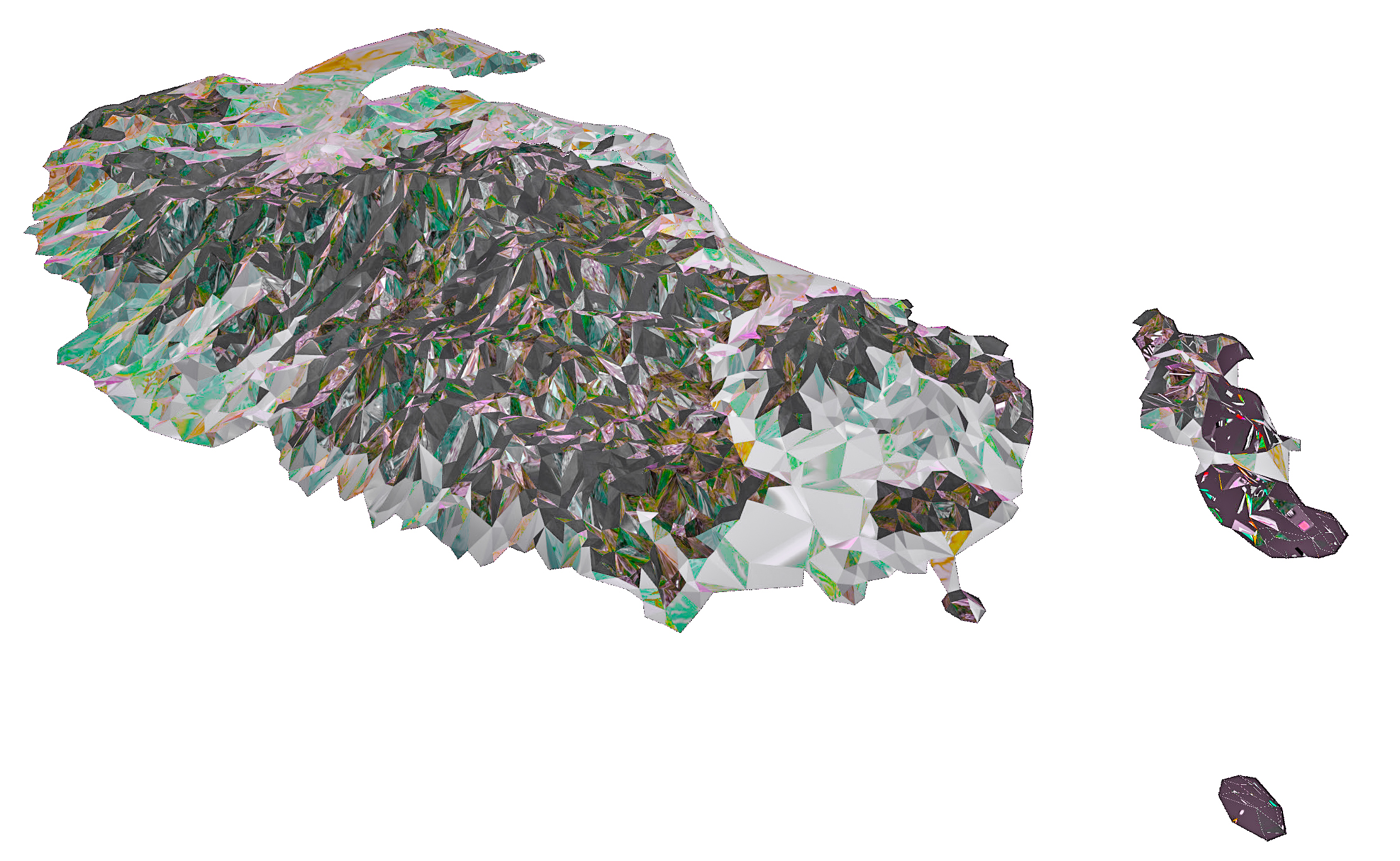
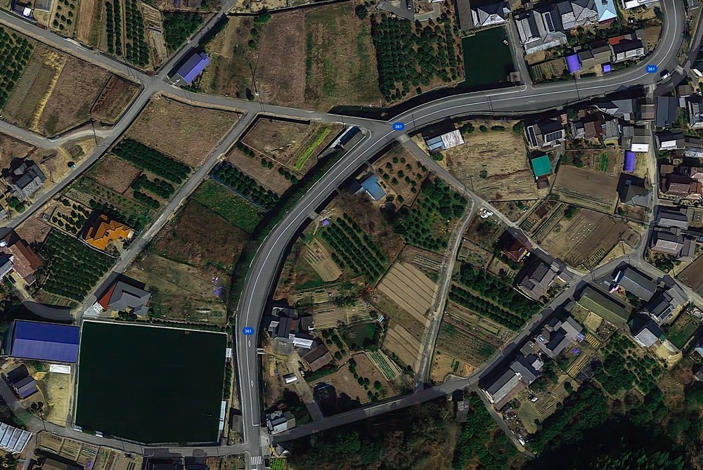
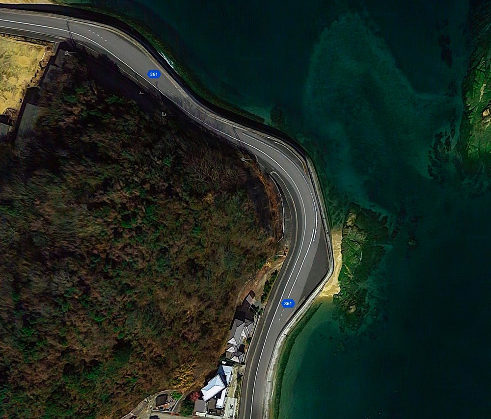
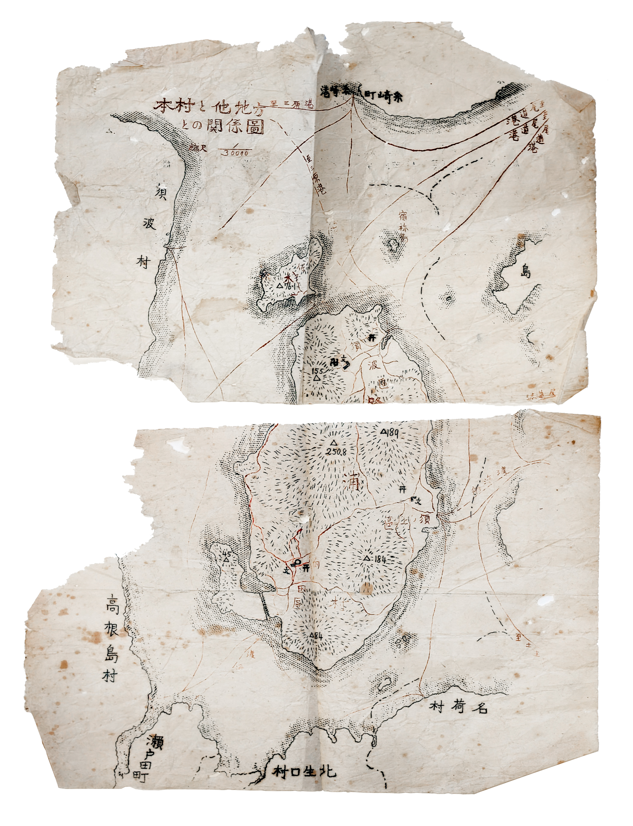
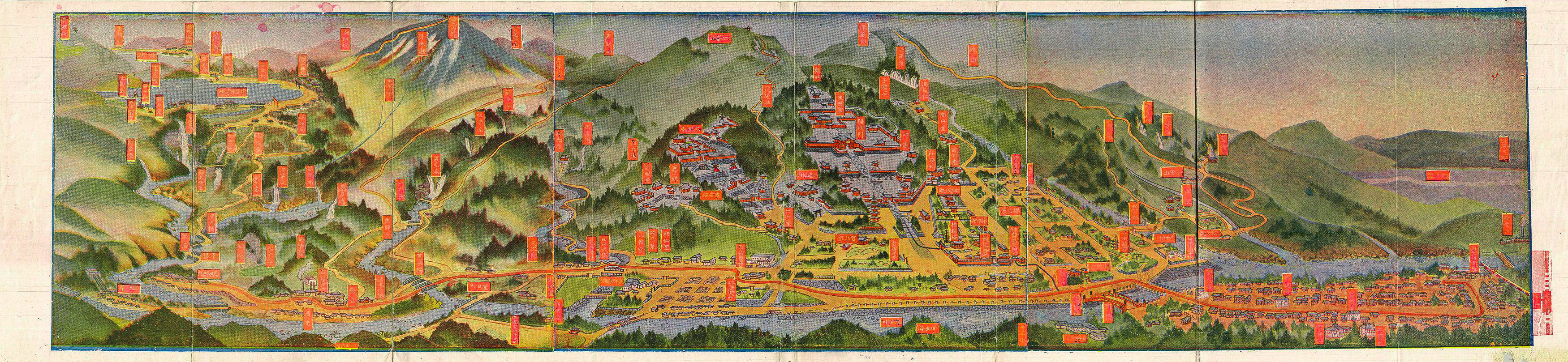
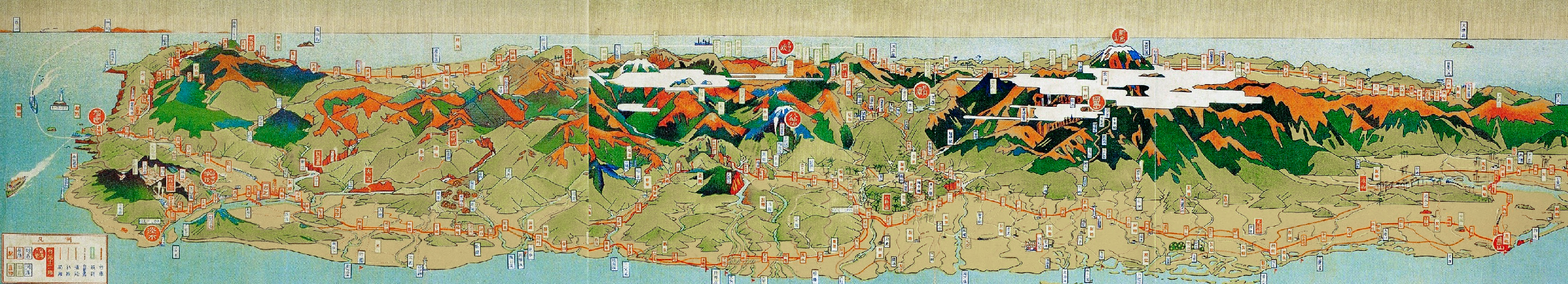
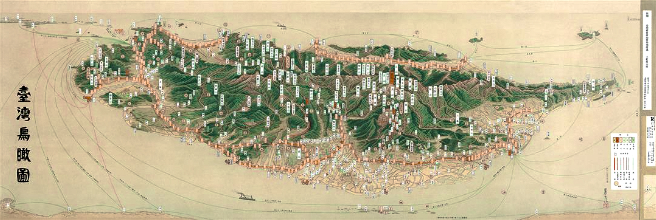
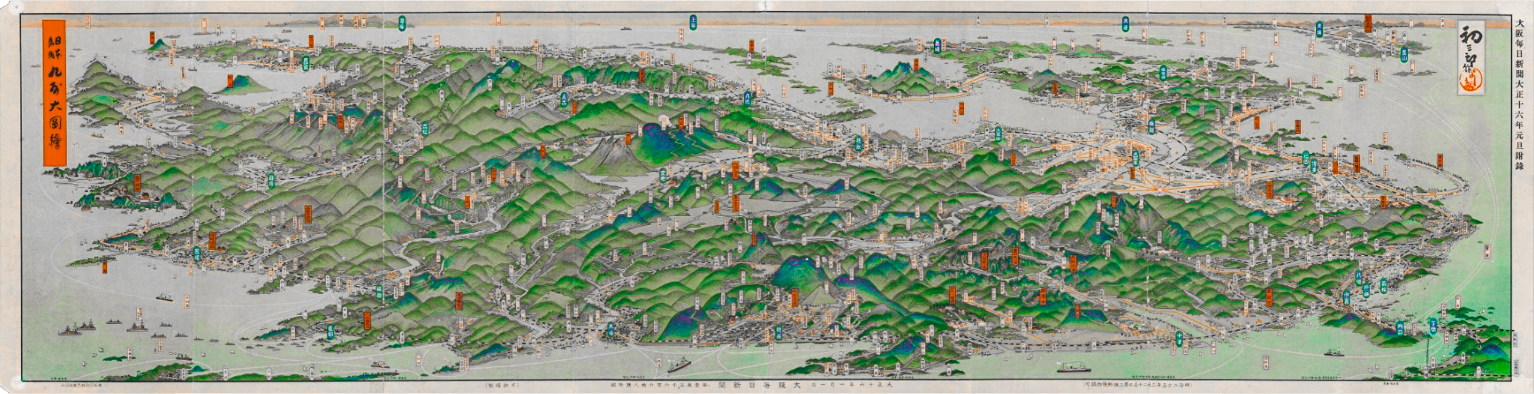
This research initiative aims to explore the social, ecological, and creative impact of the 'digital twin'—a virtual simulacrum that incorporates the geography, geometry, temporality, and systems flow of a specific region. Our site will be the small island of Sagishima (6.3mi²), located in the Seto Naikai region of Japan.
Over the course of a given year, Sagishima is visited by a variety of architects, designers, ecologists, engineers, and students. These include:
a. Students of the University of Tokyo "DECON/RECON" Master's Architecture Studio
b. Students of The Red Dot School studios
c. Participants of special events, such as The Red Dot School's 2024 "hikiya" (house-moving event)
d. Guest architects & researchers.
Lots of folks come each year, people who can help us understand island systems, people who are eager to gather data. Lots of available hands. We love to facilitate conversations between Sagishima residents and curious visitors in the service of understanding the landscape.
We would love to receive guidance from Sagishima folks on how best to analyze and record the landscape, using a variety of tools and sensors, gradually increasing the resolution of a virtual topography of the island.
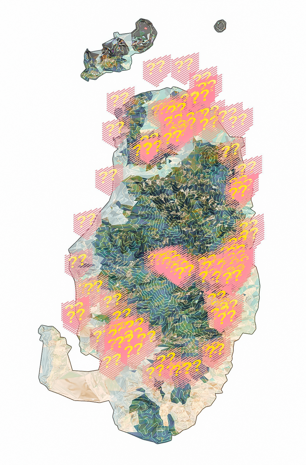
We could use this information to make a representation of the island - its views, interiors, people, systems - using a spectrum of methods. We could receive and visualize stories, genealogies, histories. We could record visualize and preserve old ways of making things.
The Sagishima Data Project would merge this data into an interconnected whole: a dynamic system that may surprise us with emergent insights into the network of relationships on the island, and a memory palace upon which experiences can be hung.
(#sagishima-twin)
この研究イニシアチブの目的は、「デジタル・ツイン」(特定の地域の地理的条件、幾何学、時間的変化、そして各種システムの流れを統合したバーチャルなシミュレーション)が持つ社会的、生態的、そして創造的な影響を探求することです。私たちが対象とするサイトは、日本の瀬戸内海地域に位置する小さな島、佐木島(面積約16.3 km²)です。
佐木島には、一年を通じて様々な建築家、デザイナー、生態学者、エンジニア、そして学生たちが訪れます。具体的には以下のような人々が含まれます。
a. 東京大学修士課程「DECON/RECON」建築スタジオの学生
b. The Red Dot Schoolのスタジオに参加する学生
c. The Red Dot School主催の特別イベント(2024年に予定されている「曳家」イベントなど)の参加者
d. ゲストの建築家や研究者
毎年たくさんの人々が島を訪れます。島の仕組みを理解するのに役立つ人々、データ収集に熱心な人々がたくさんいます。力を貸してくれる人はたくさんいます。私たちは、佐木島の風土を理解するために、島の住民のみなさんと好奇心旺盛な訪問者の方々との会話や交流を促進することを大切にしています。
島の地形を分析・記録するためにどのような方法が最適なのか、様々なツールやセンサーを活用して、仮想的な島の地形データの精度を徐々に高める方法について、佐木島に住むみなさんからぜひアドバイスをいただきたいです。
これらの情報を使って、島の風景、屋内の様子、住民の暮らし、さまざまなシステムを、幅広い手法で表現することができます。また、島にまつわる物語、家系図、歴史などを集めて視覚化し、古くからのものづくりの技術を記録・保存することも可能です。
佐木島データプロジェクトでは、こうした多様なデータを一つに統合して、相互につながり合うダイナミックなシステムを作り上げます。そこから島の人々や風土の関係性に関する思いがけない洞察が浮かび上がってくるかもしれません。また、それらが記憶の宮殿のように機能し、さまざまな経験を位置付けていくための基盤にもなります。
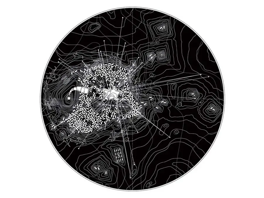
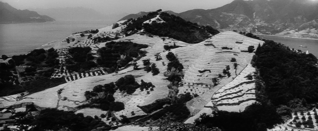
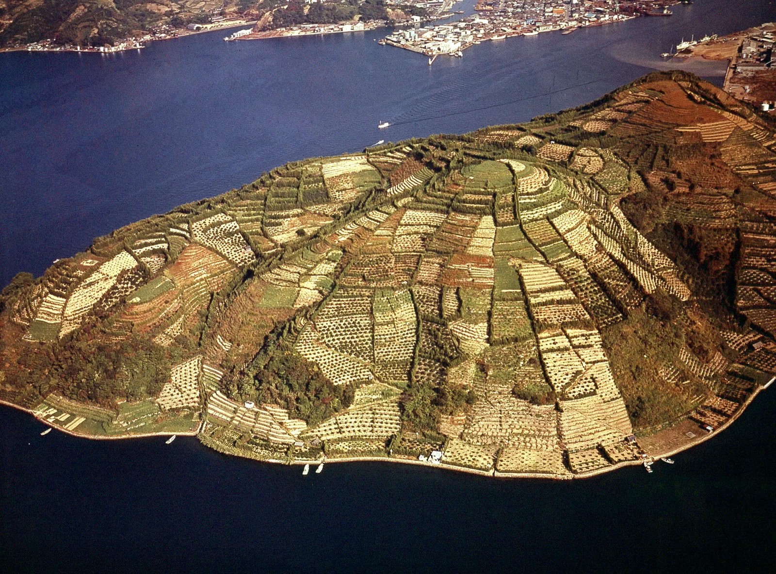
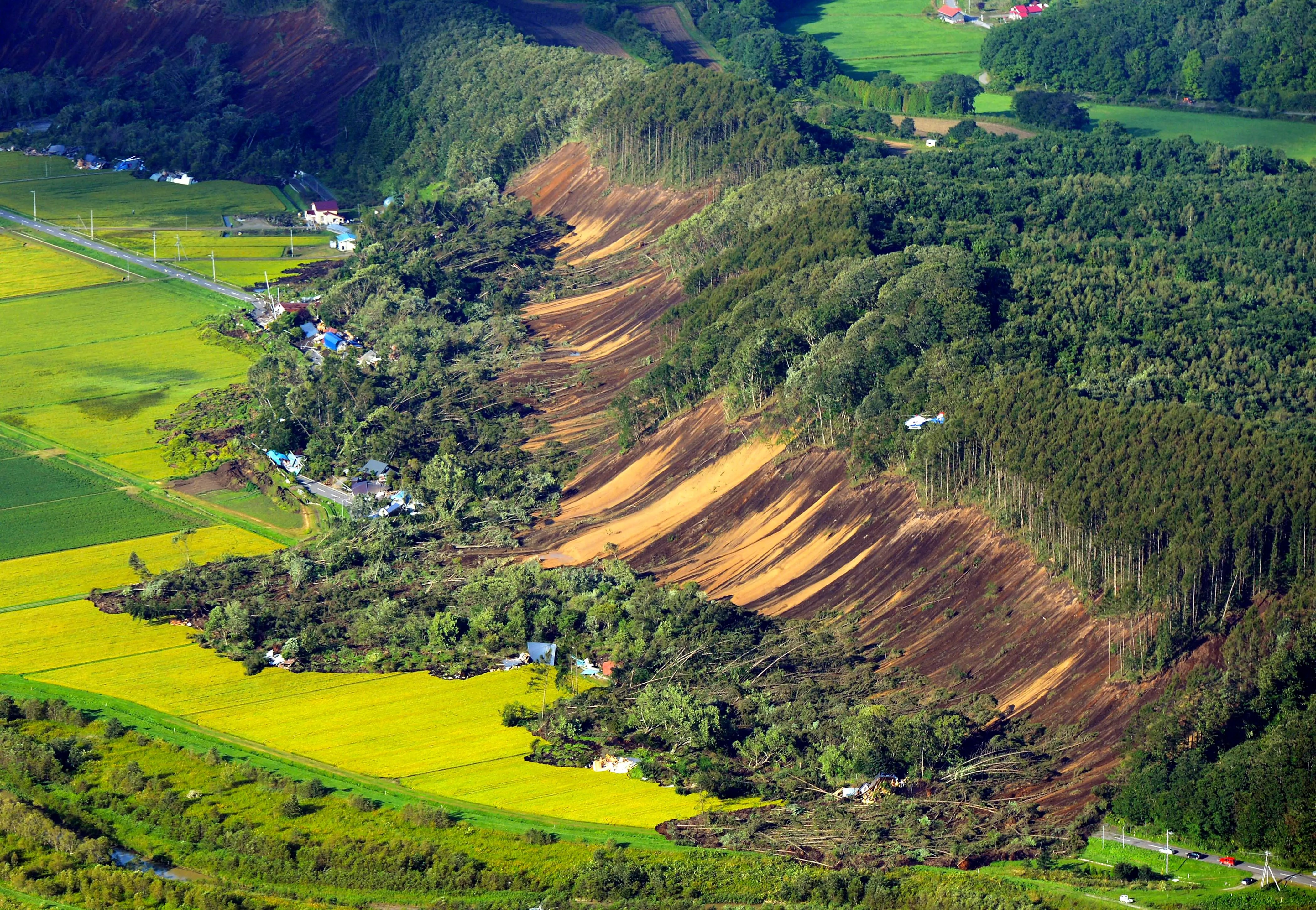
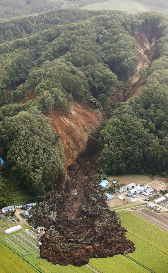
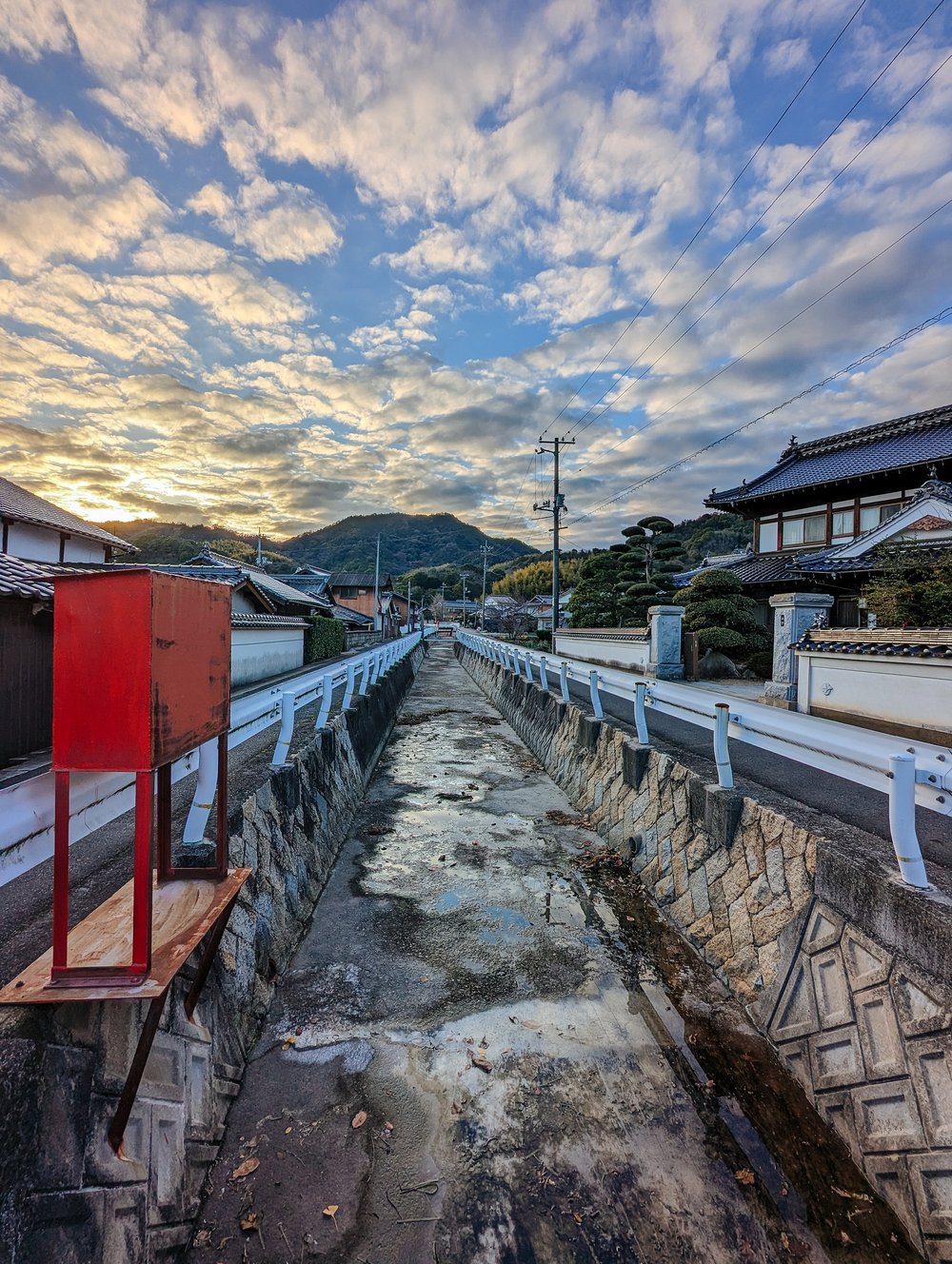
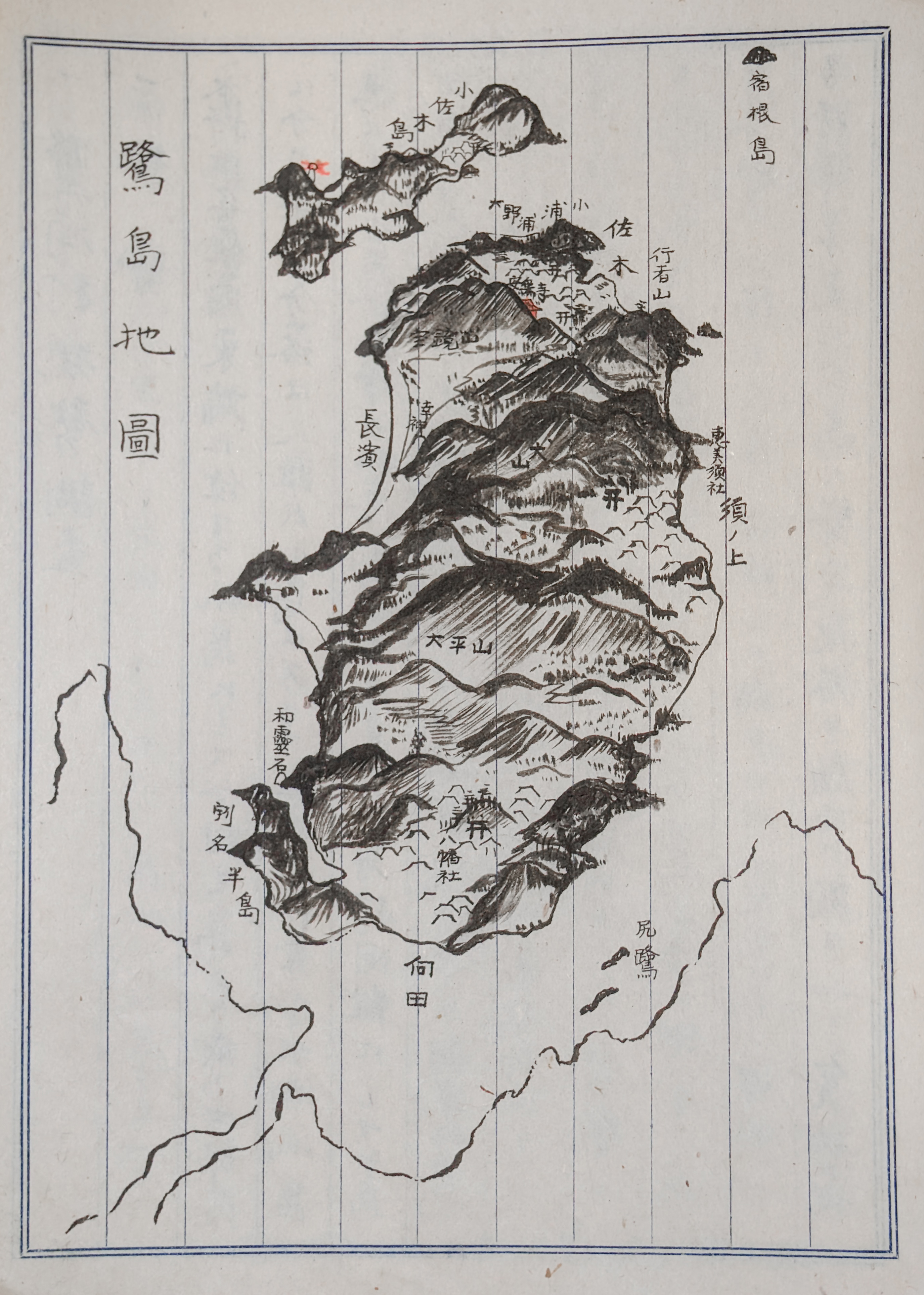
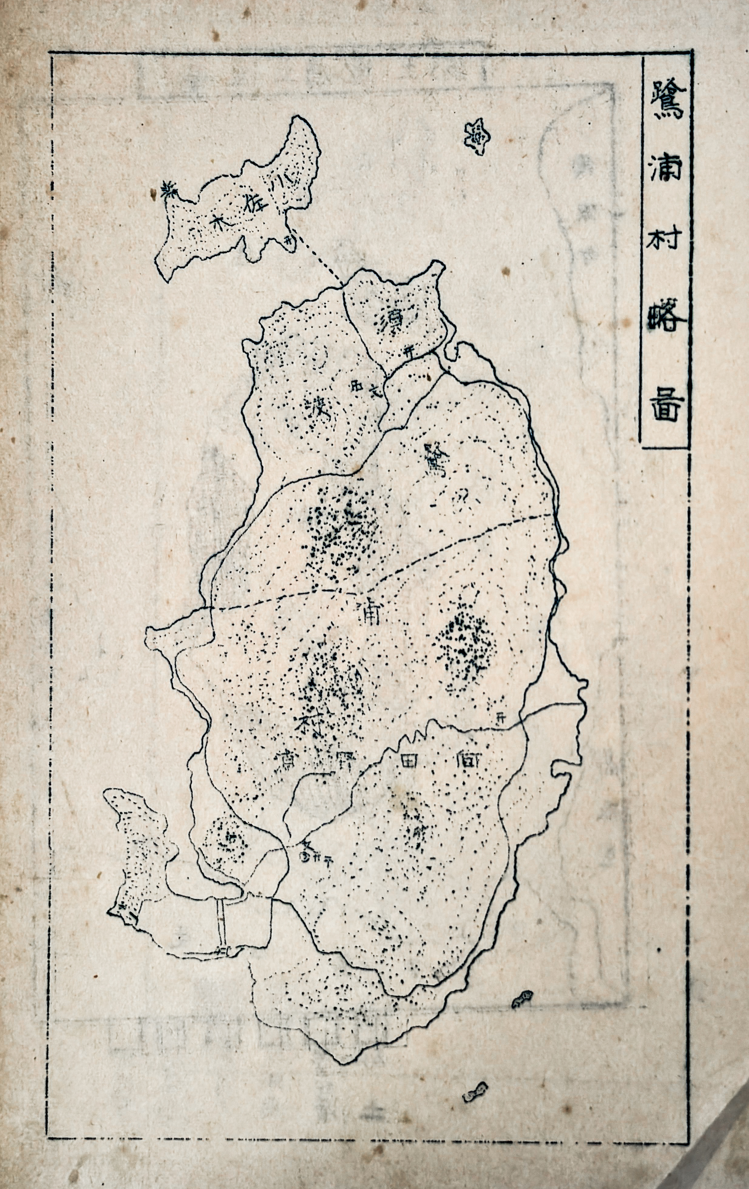
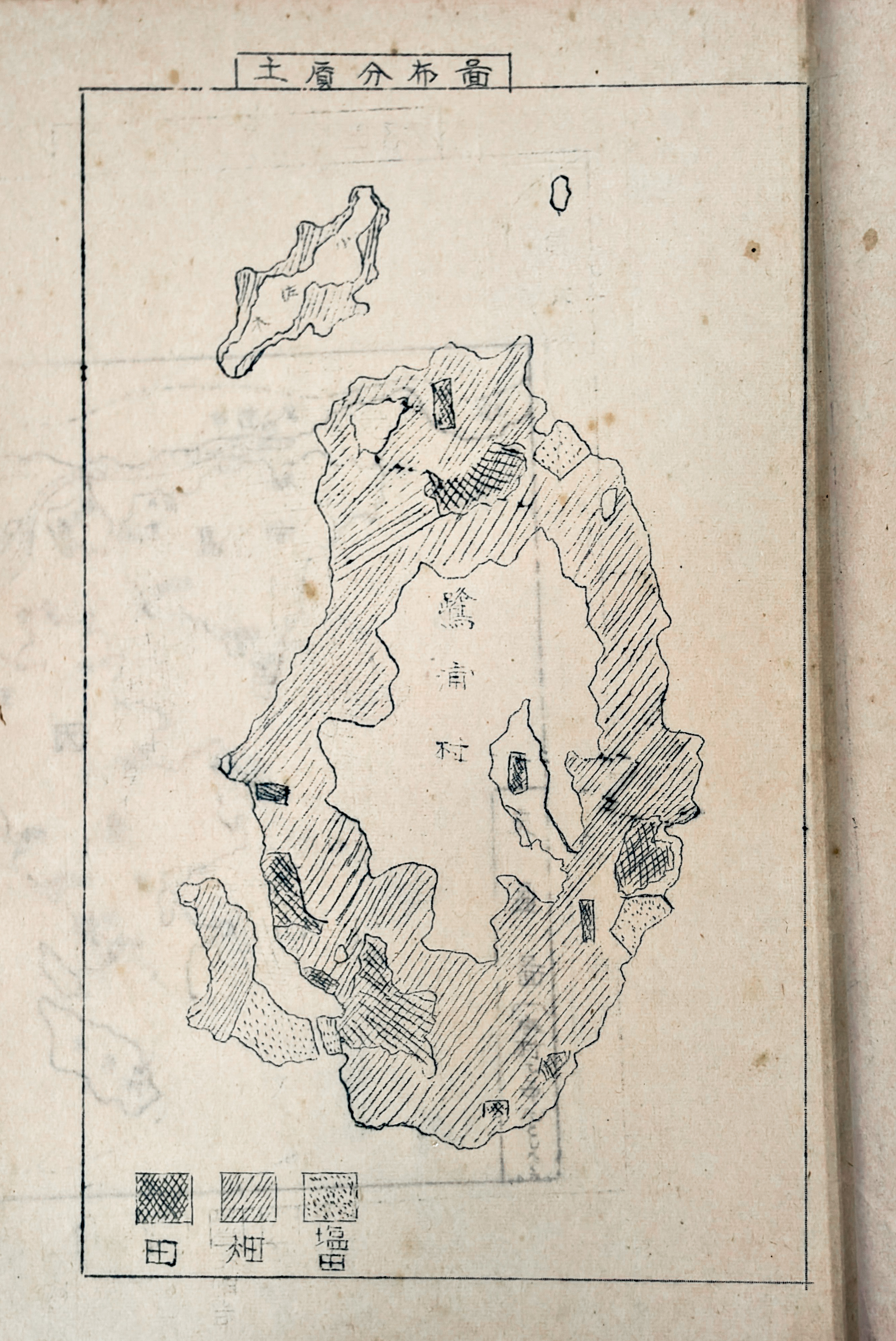
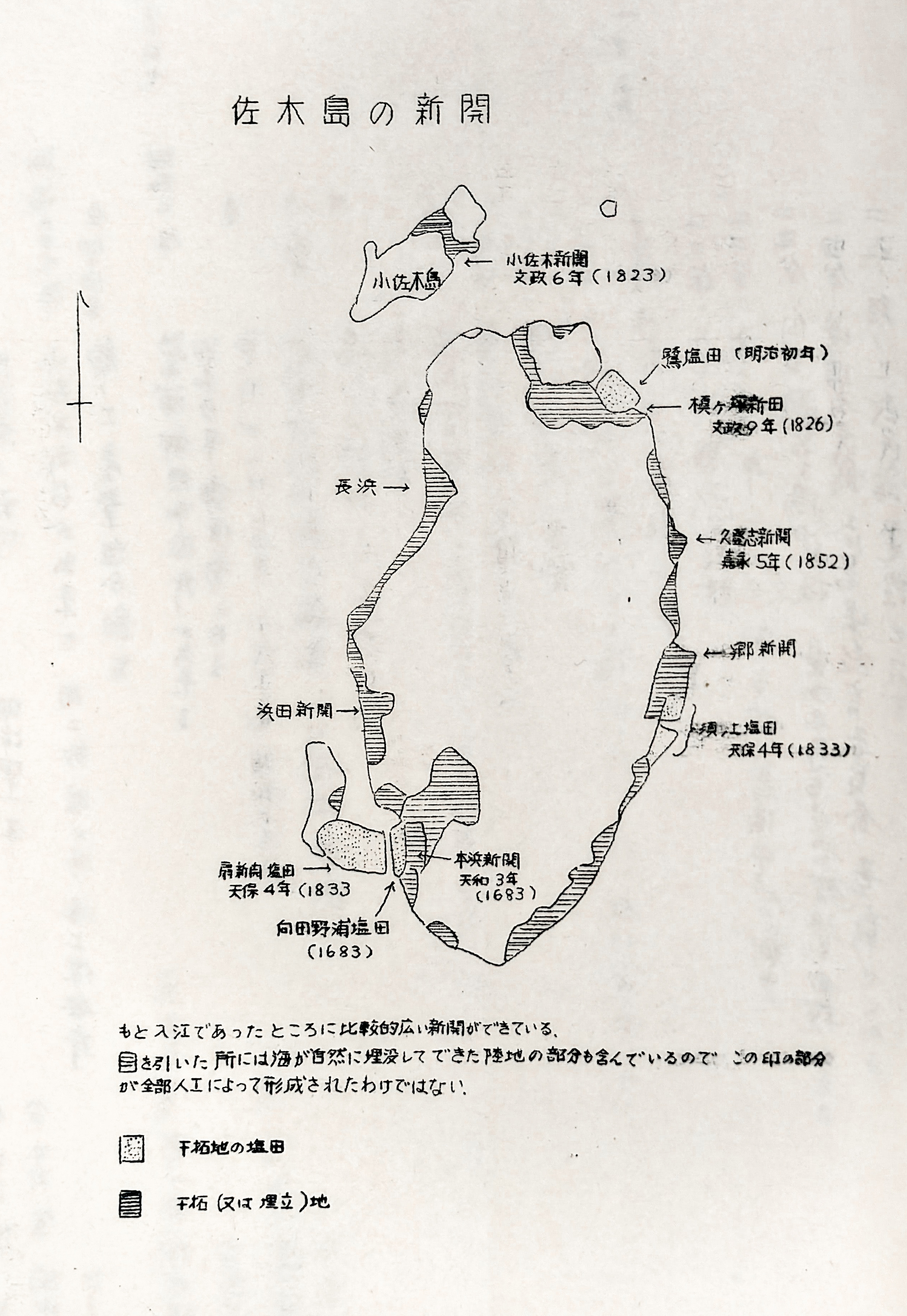
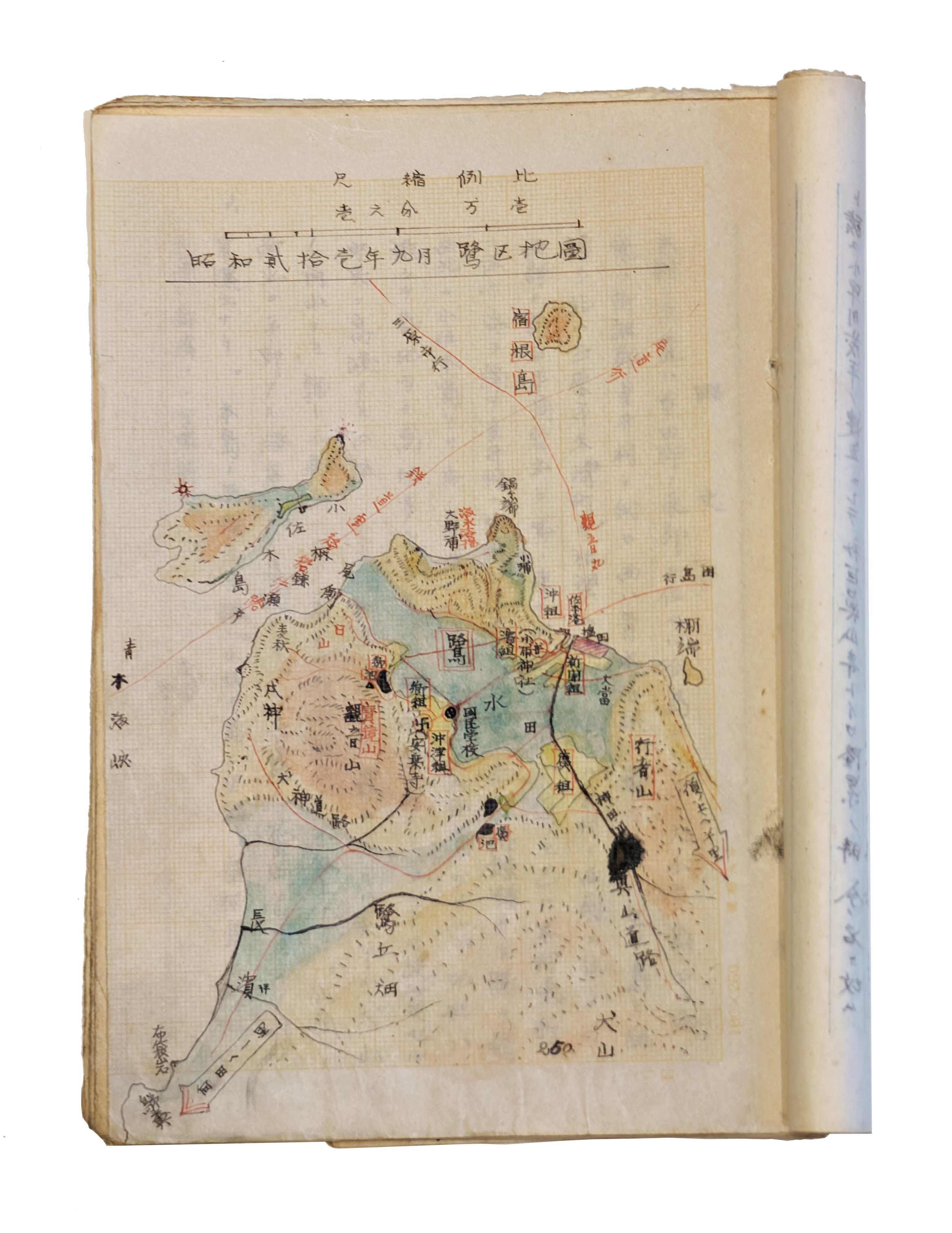
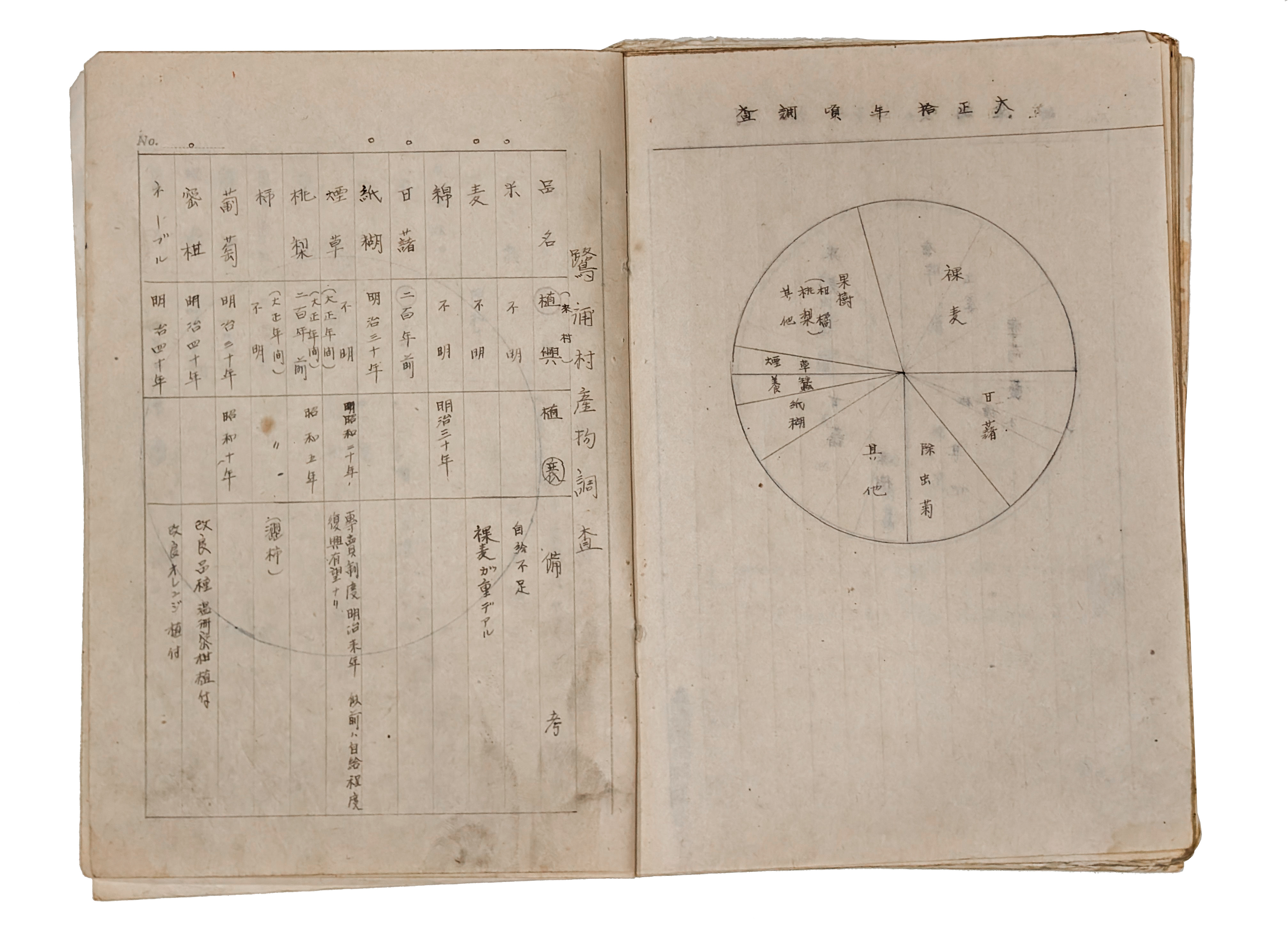
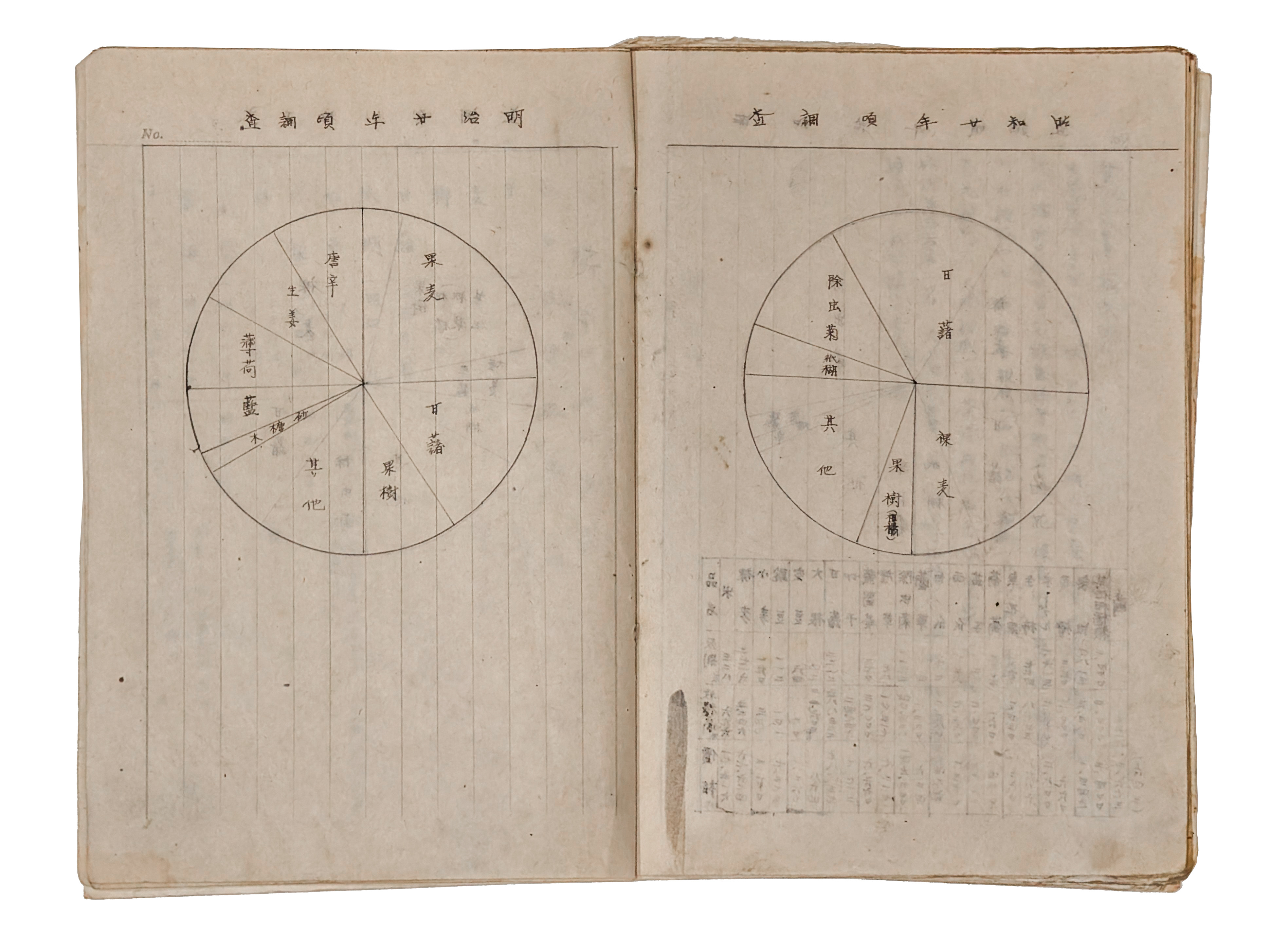
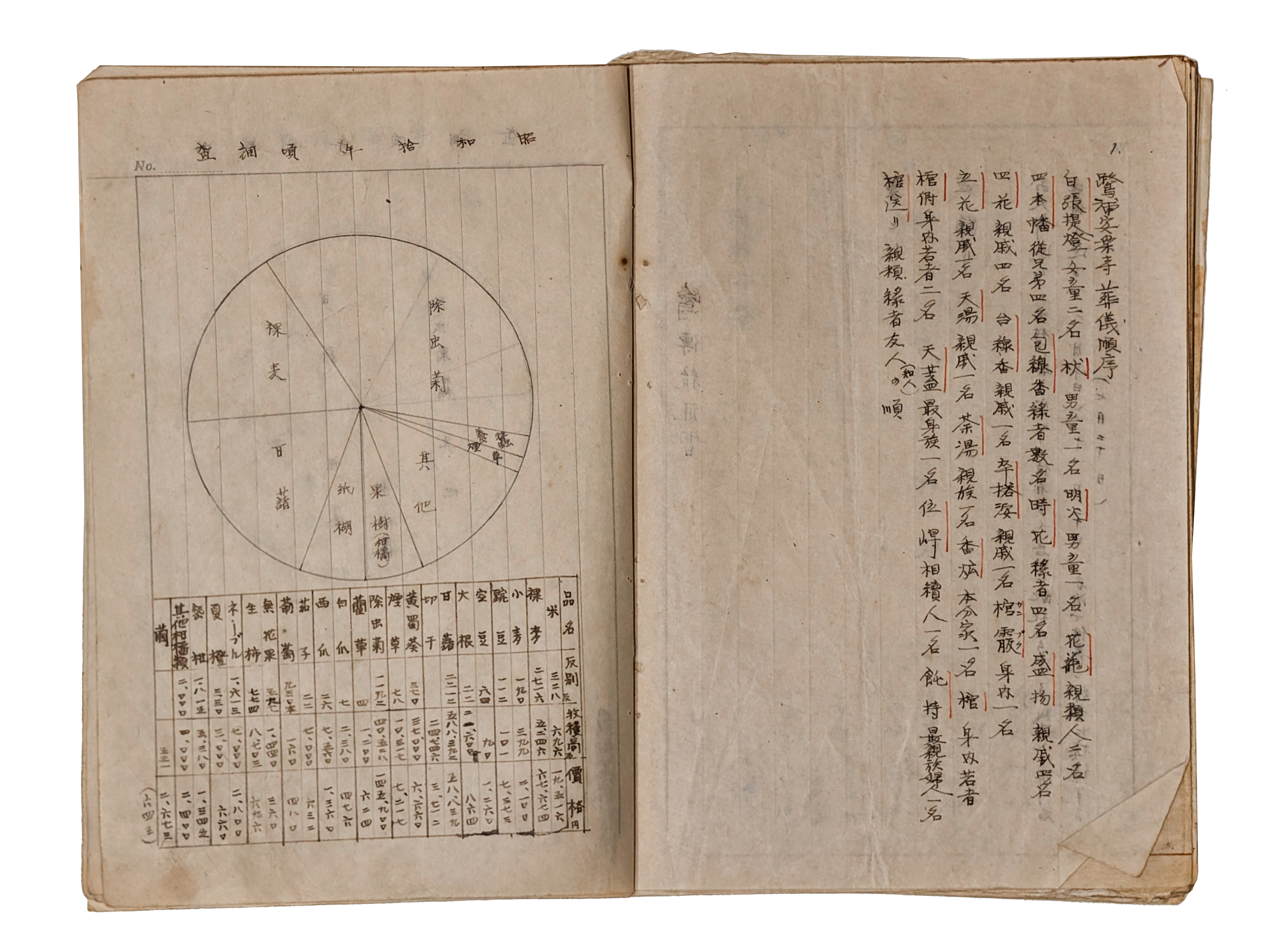
Sagishima was once a self-sufficient hydrological system. In 19xx, near the peak of it's population boom, a water pipeline was installed to connect the island with the mainland reservoirs. Now, with its population reduced from 3600(?) to ~570, the island's landscape is a palimpsest of water management strategies that spans hundreds of years. The Sagishima Data Project could gather the necessary information to create a simulacrum of Sagishima's hydrology, merging municipal data with island surveys, histories and practices, collected by our students.
We would aggregate this data and try to produce a hydrodynamic model/visualization that illuminates change across time and population density. Of particular interest is the relationship between land/water management and the occurrence of landslides, which are common in Japanese rural area where former cropland has succumbed to light forests of poplar or bamboo. As global temperatures rise, the Seto Naikai is expected to experience stronger rains, which will exacerbate the degradation of once-tended terrain.
In addition, we are interested in exploring water use at the scale of the island, to better understand why, at a time when Sagishima's population is at a historical low, it is experiencing a pinch in terms of available water for agriculture.
かつて佐木島は、水資源を自給自足できる水文システムを持っていました。しかし人口がピークを迎えつつあった19XX年頃、本土の貯水池と島を結ぶ水道パイプラインが敷設されました。現在、島の人口はかつての約3,600人(推定)から約570人まで減少しています。そのため、佐木島の風景は数百年にわたり重層的に積み重ねられた水資源管理の歴史を示すパリンプセスト(多層的な記録)となっています。
「Sagishima Data Project」は、市町村のデータと学生たちが収集した島の調査データや歴史、地域の実践方法を統合し、島の水文環境を再現するために必要な情報を収集します。私たちはこれらのデータを集約し、時間の経過と人口密度の変化を明らかにするような、水文動態モデルや視覚化(ビジュアライゼーション)を作りたいと考えています。
特に興味深いのは、土地・水資源管理と土砂崩れ発生との関連性です。かつて農地だった土地がポプラや竹林に変わった日本の農村地域では、土砂崩れが頻繁に起こります。地球温暖化に伴い瀬戸内海では強い降雨が増加すると予想されており、これが手入れされなくなった土地のさらなる劣化を引き起こす可能性があります。
さらに、島全体の規模での水の利用状況を調査したいと考えています。現在、佐木島の人口が史上最低水準であるにもかかわらず、なぜ農業に利用可能な水資源が不足しているのか、その理由をより深く理解したいのです。
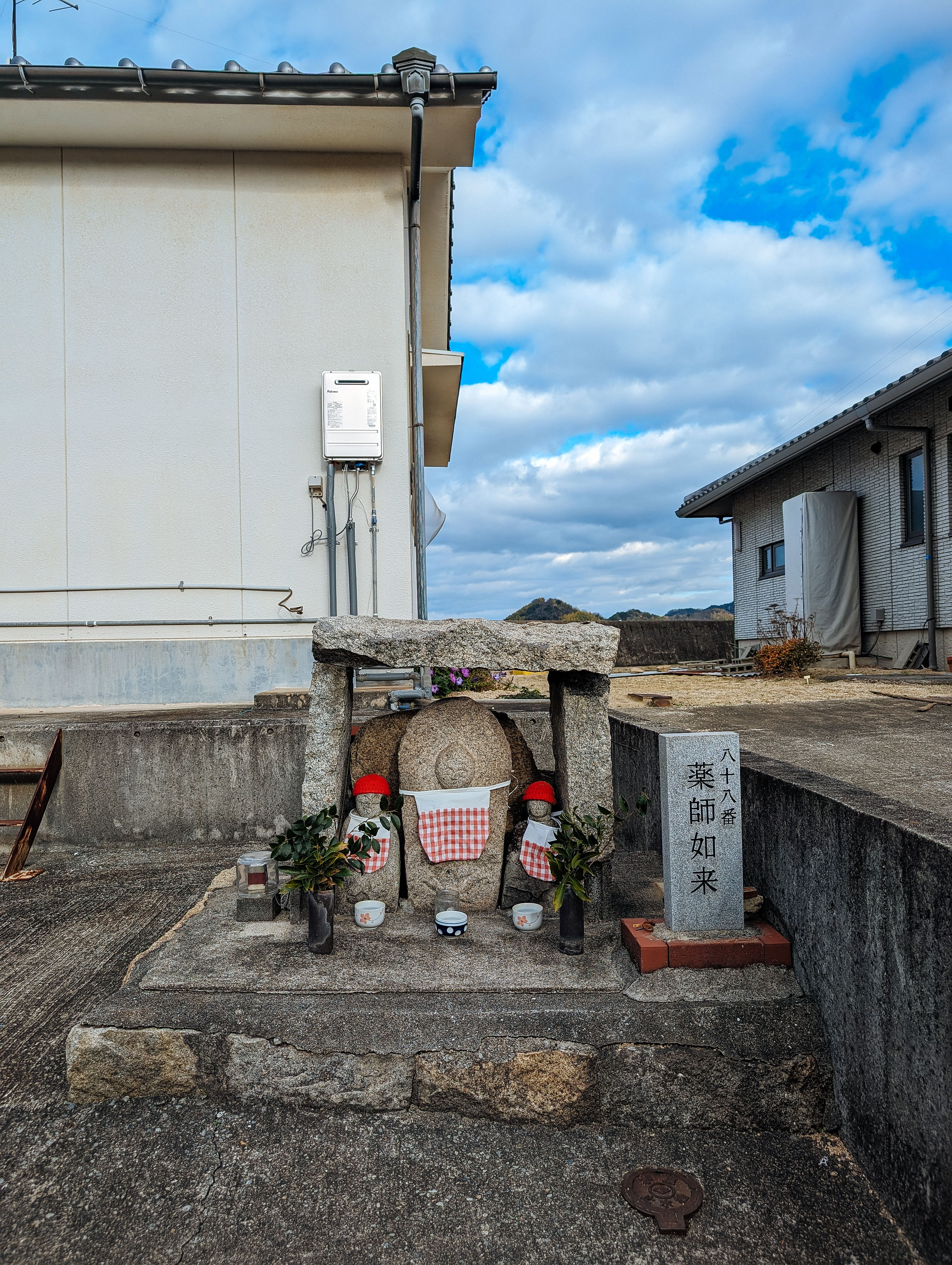
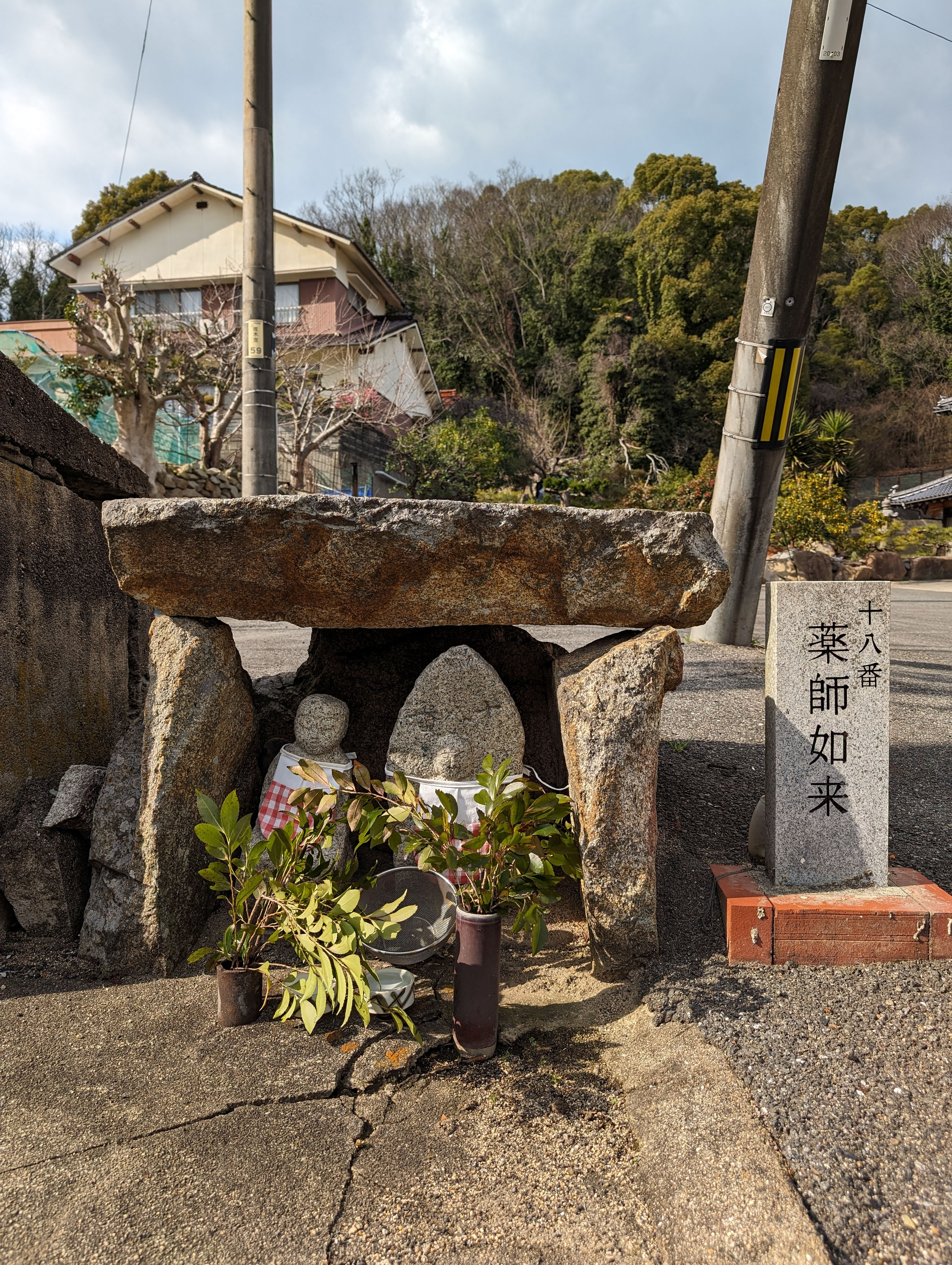
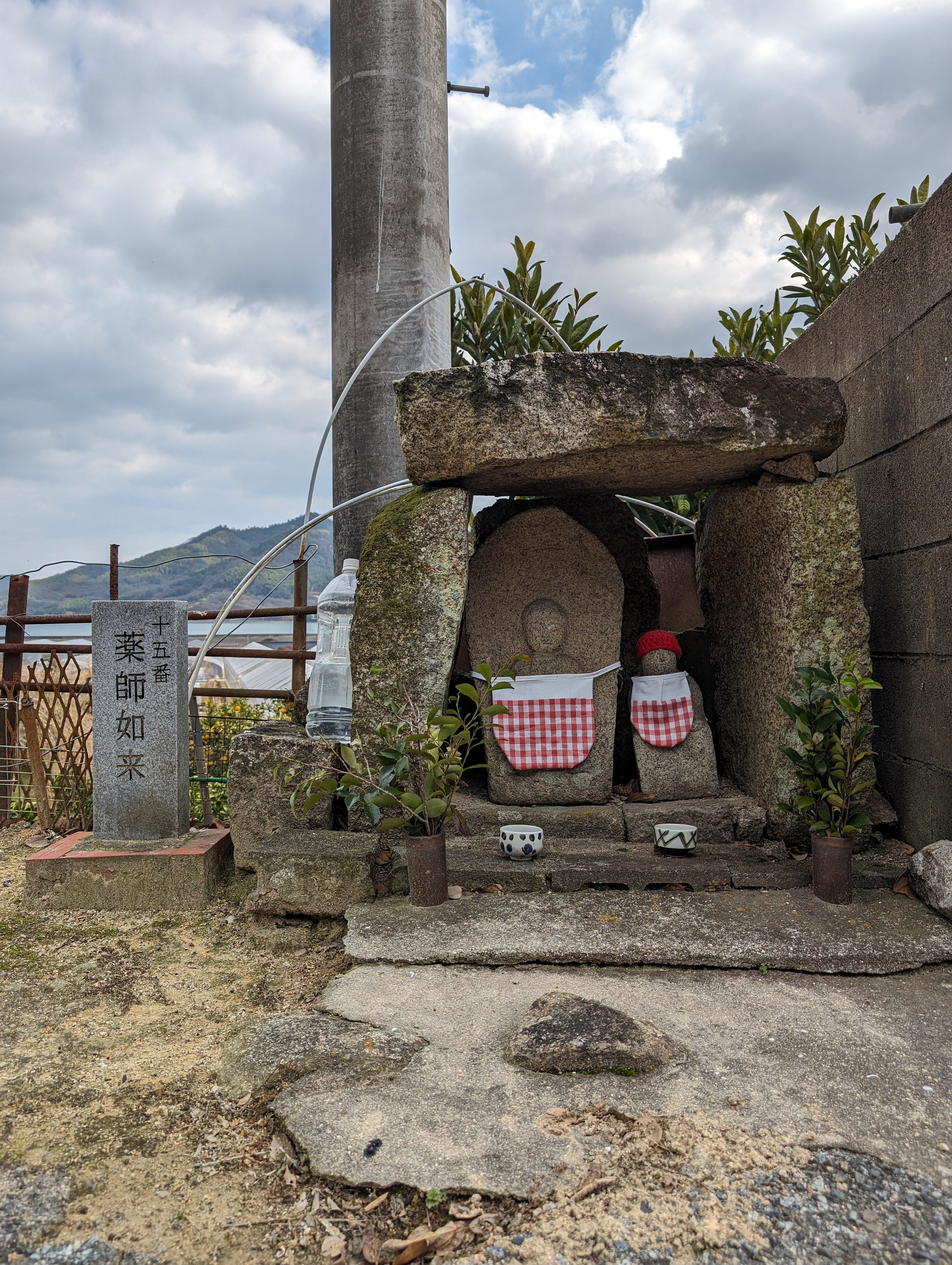
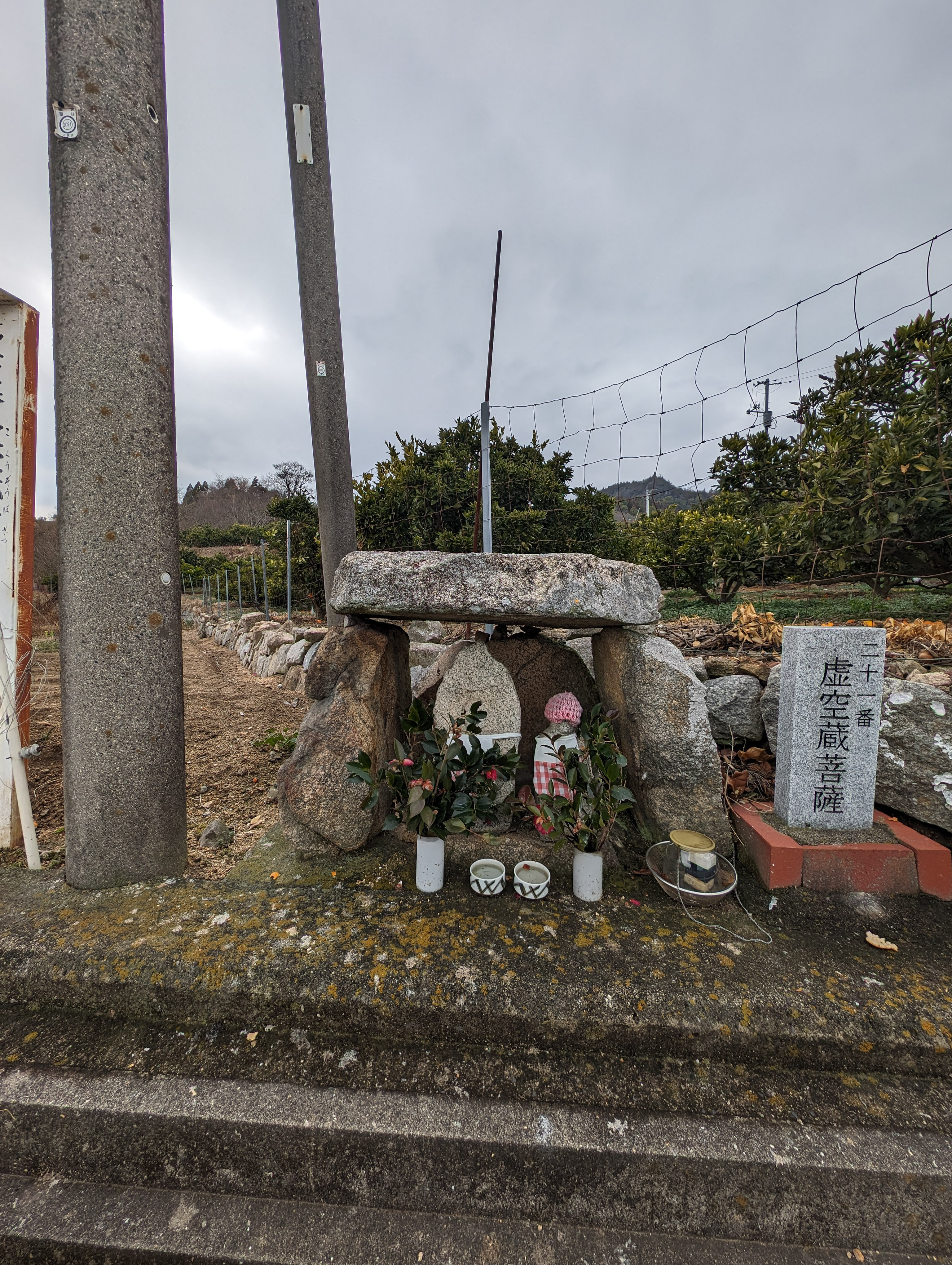
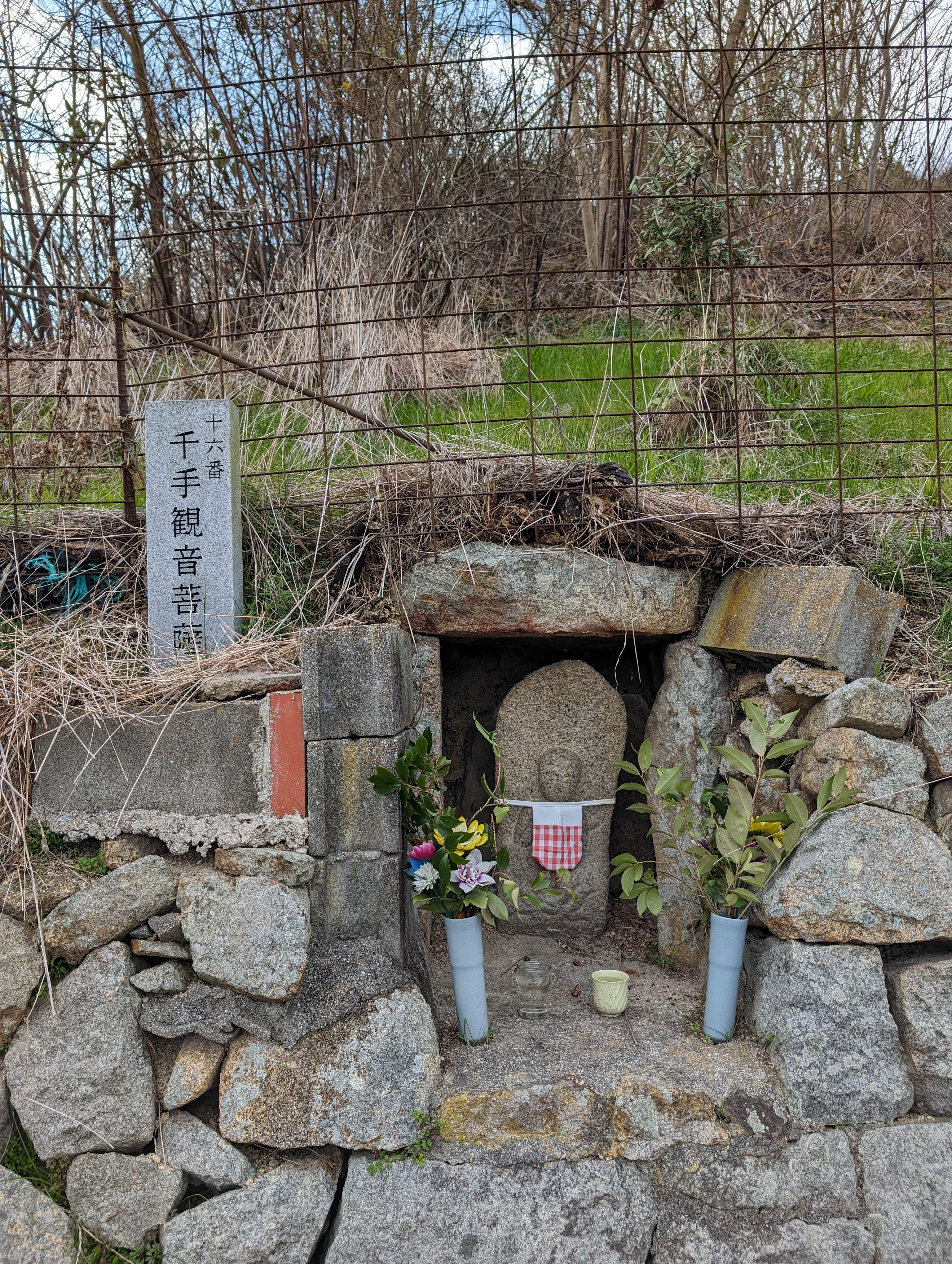
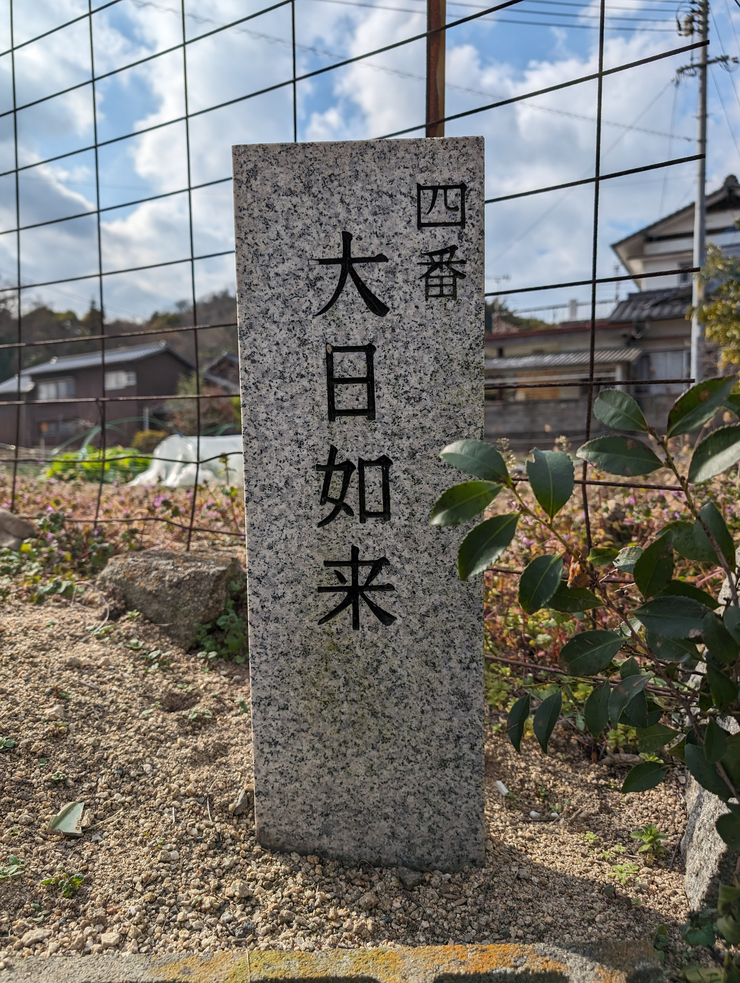
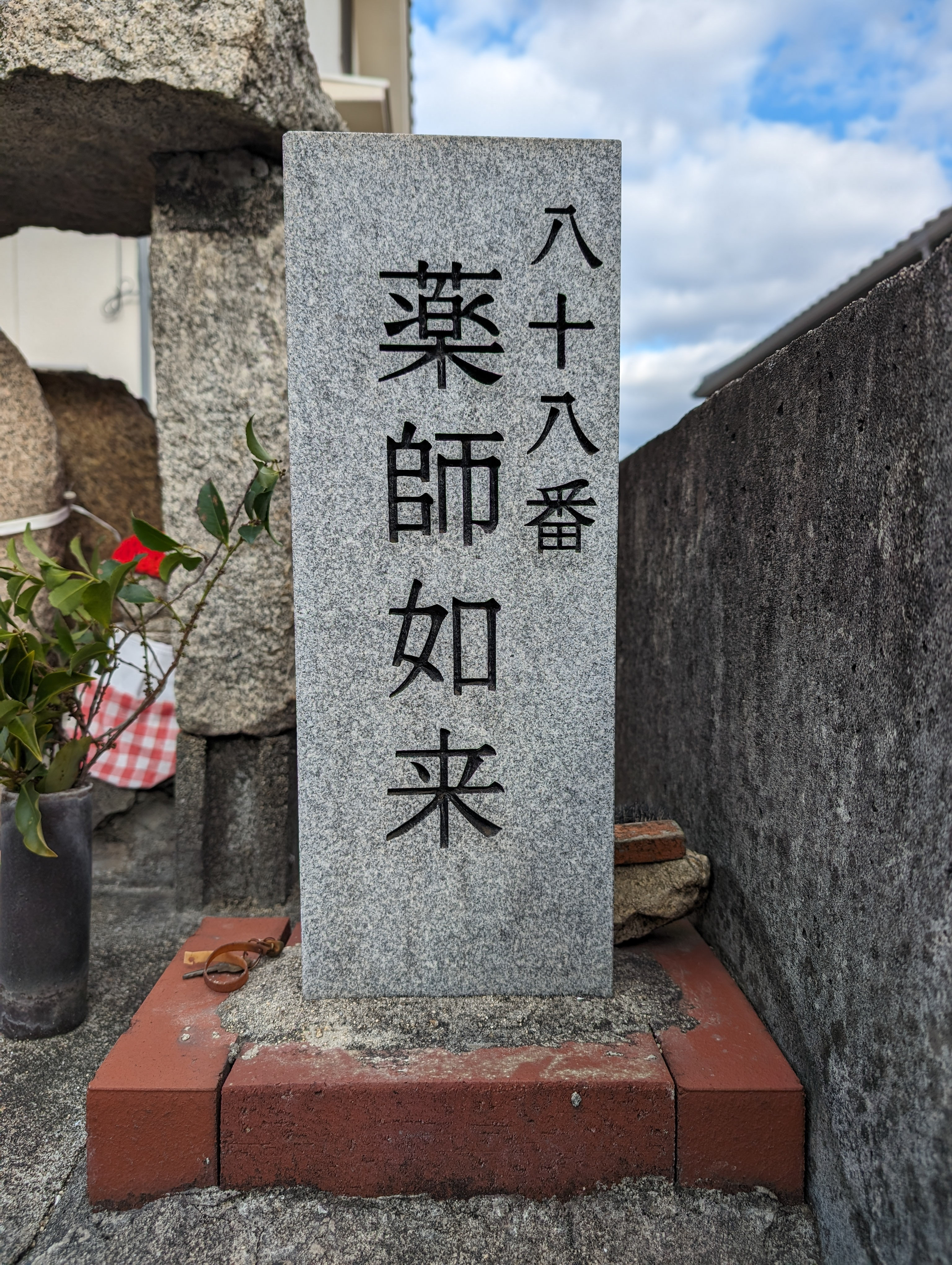
Sagishima is home to a pilgrimage route that encircles the island. A miniature version of Shikoku's famous 88 sacred sites, Sagishima's Ohenro consists of 88 small stone alcoves scattered across the island. The deeper we delve into these 88 (plus some extra ones), the more intrigued we become by their history. What would a tabletop game or digital experience focused on these 88+α look like?
佐木島には、島をぐるりと囲む巡礼ルートがあります。これは四国の有名な「八十八ヶ所霊場」のミニチュア版のようなもので、島中に散らばる88ヶ所の小さな石の祠(ほこら)から成り立っています。この88ヶ所(と、さらにいくつか追加された場所もあります)を深く掘り下げれば掘り下げるほど、その歴史に対する好奇心が湧いてきます。この「88+α」をテーマにしたテーブルトップゲームやデジタル体験を作るとしたら、一体どんなものになるでしょうか?

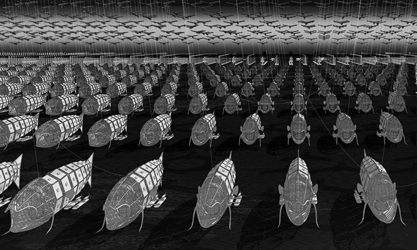
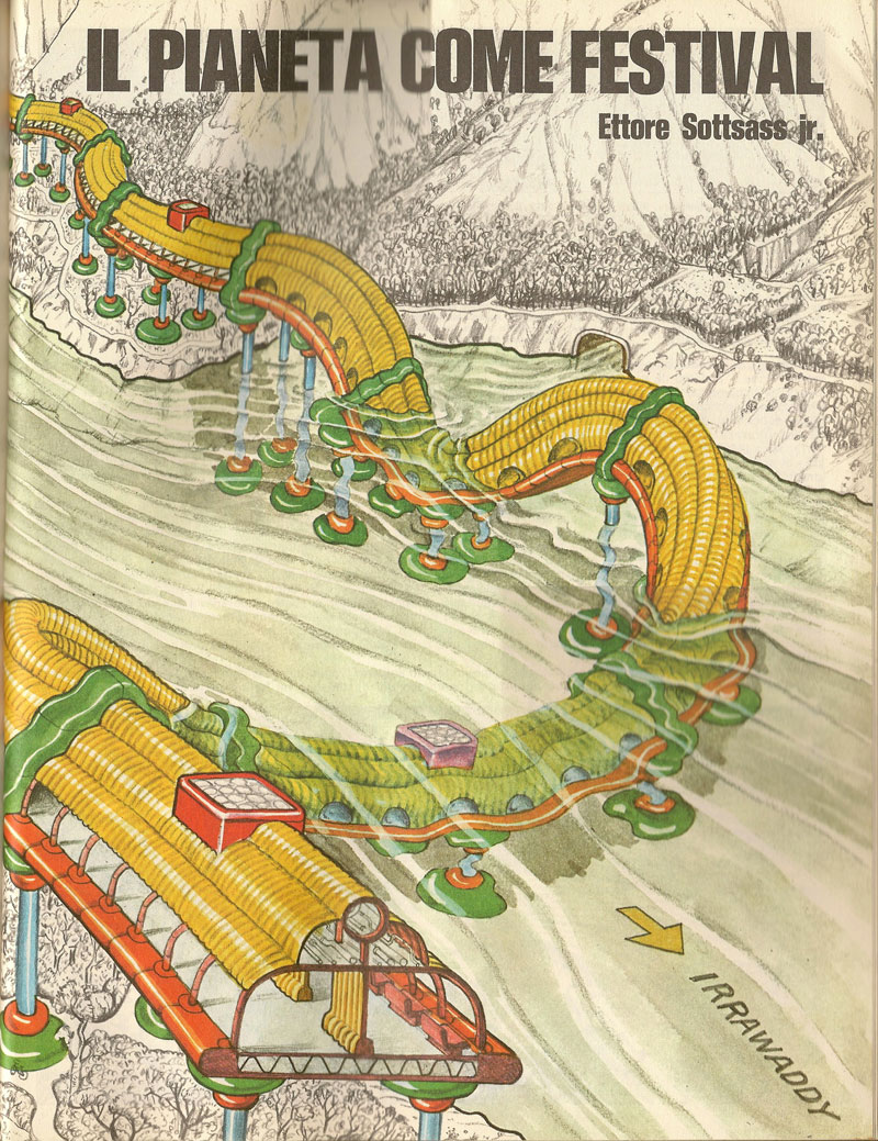
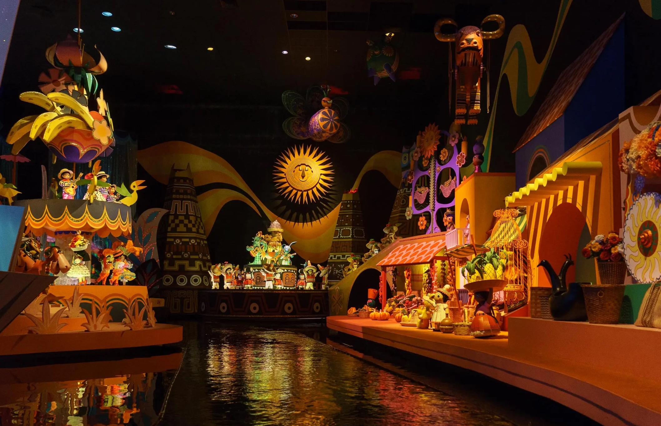
A hologram of the island in its imaginary, mythological, festival mode. The island as it might appear in the mind of a griot, a storyteller, a kamishibai.
The concepts of "Hare" and "Ke" in the Japanese matsuri cosmology... A visualization of the island in it's platonic, infinitely repeating "Hare" form.
Ke is 日常、daily ordinary lives
Hare is 非日常、special occasions, festivals and ceremonies
Hare comes from 晴れ (hare) = sunny
島を、空想的で神話的な「祭り」の姿で表現したホログラム。吟遊詩人や語り部、紙芝居師の心に浮かぶであろう、想像上の島の姿。
日本の祭り文化における「ハレ」と「ケ」の概念を視覚化する試み。「ハレ」の状態を理想化し、無限に繰り返される祭りとして表現した佐木島の姿。
「ケ」とは日常のことであり、人々の普段の暮らしを指す。
一方「ハレ」とは非日常的な特別な機会、つまり祭りや儀式を指す概念。
ちなみに「ハレ(非日常)」という言葉は、天気が良いことを意味する「晴れ」という言葉から来ている。